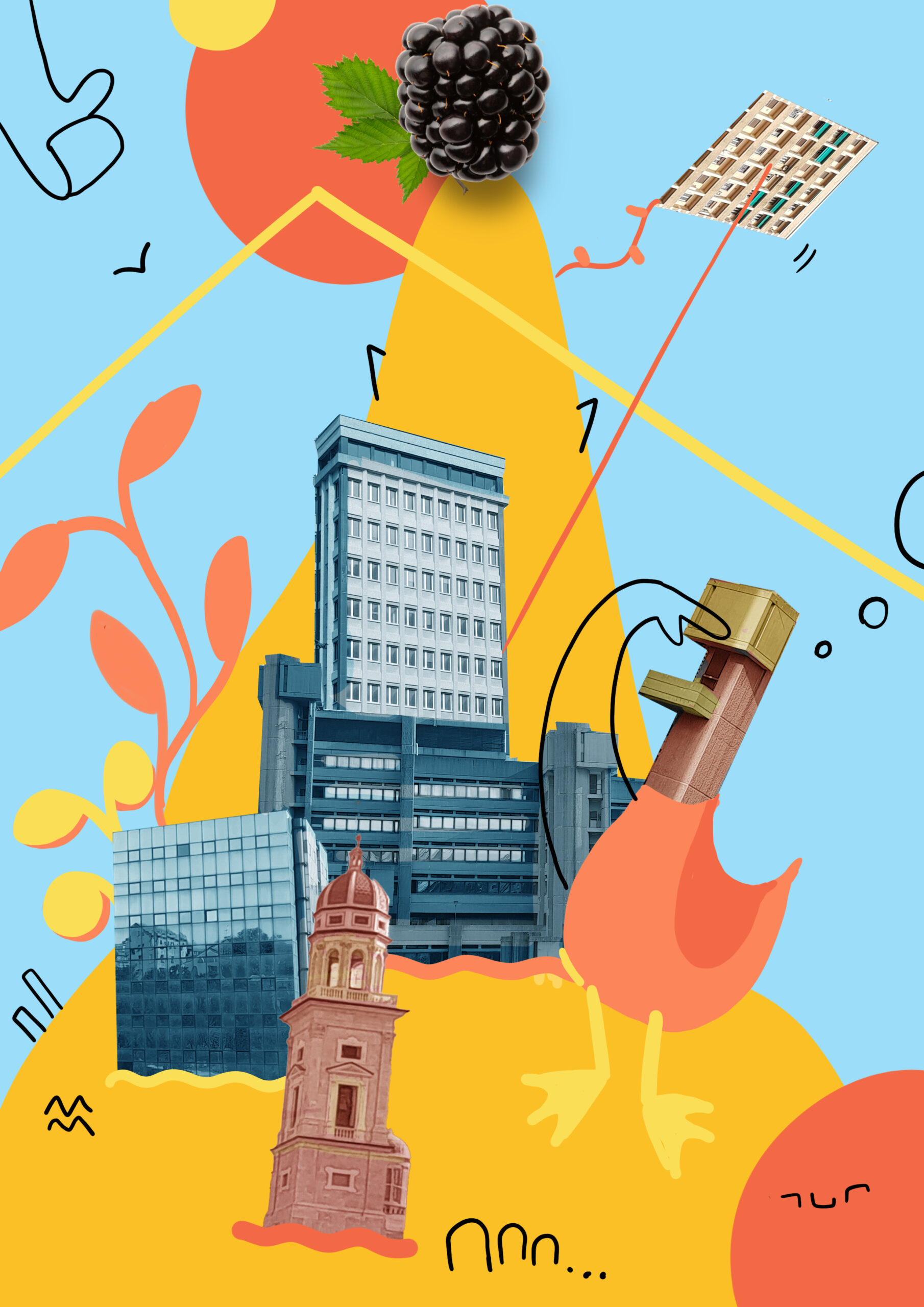
From overcrowding to discovery:a visual system for Slow Tourism
Year
2022
What we made
Identity
Wayfinding System
Project
Universidade de Lisboa
Area
Culture & Heritage
Overview
Lagos is a historic coastal town in Portugal’s Algarve region facing challenges common to tourism-dependent cities: gentrification, loss of local character, and overcrowding in commercial areas. We developed a wayfinding system and visual identity to promote “slow tourism” encouraging visitors to explore beyond crowded hotspots, engage with local culture and history, and move through the city on foot.

Challenge
Mass tourism in Lagos concentrates visitors in the same commercial corridors: the challenge was to redistribute foot traffic, make cultural landmarks more accessible, and encourage meaningful exploration rather than rushed consumption.


Approach
The visual system draws directly from Lagos’ material culture: geometric patterns from Moorish-influenced tilework and chimneys, the warm orange-brown of natural rock formations, cobblestone motifs, and the saturated accent colours found on traditional house details. Wayfinding elements use typical patterns and a light background palette that reflects Algarve’s bright, sun-washed atmosphere.


Guided Pathways
The system offers visitors two defined experiences: a 20-minute loop through the historic centre and a longer coastal route. By communicating walking times and highlighting sites, the design encourages slower, more distributed exploration.

Typography and Icons
After conducting readability studies for long-distance viewing, we selected Besley, an elegant display serif, that refers to the typical decorative elements.
The system is supported by a custom icon series tailored to work harmoniously with the chosen typefaces.


Signage & Usability
The system uses orientation maps, detail area maps, and color-coded fingerposts positioned at key points along both routes.
Readability studies informed the choice of Besley for distance viewing, while custom icons tailored to the typography ensure instant recognition.
Usability testing shaped practical details: fingerposts use color to indicate route sequence, all tour stops display route names for context, and walking times to beaches adjust based on each sign’s location.


The system offers visitors two defined experiences: a 20-minute loop through the historic centre and a longer coastal route. By communicating walking times and highlighting sites, the design encourages slower, more distributed exploration.